





Sometimes, however, the polar vortex can wobble, weaken or even reverse, disrupting the usual westerly wind flow.
This can lead to that cold air trapped above the pole sinking downwards in the atmosphere. This rapid descent causes the air to compress, generating an immense and rapid temperature increase—the sudden stratospheric warming.
The temperature can surge by up to 50C in just a couple of days.
Think of it a bit like when you swirl a cup of tea – the tea tends to move rapidly, high around the periphery of the cup. If the swirling slows or stops, the tea sinks back downwards into the centre of the cup.
Over a period of days and weeks this sinking, warming air can work its way down through the atmosphere influencing our jet stream, causing it to weaken, buckle, or reverse.
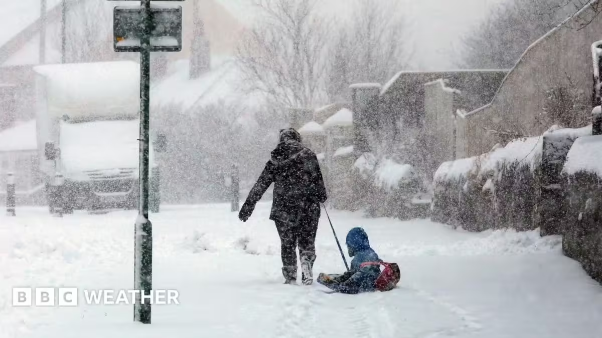
A weaker, meandering jet stream can deliver colder northerly or easterly winds which may bring us snow and a drop in temperature.
However, SSWs don’t always translate into changes in weather patterns at the Earth’s surface, but the dice becomes loaded for a highly chance of colder wintry weather in the UK.
Equally, periods of a meandering jet stream and cold winter weather often occur without significant changes in the polar vortex.
Source: www.bbc.com