



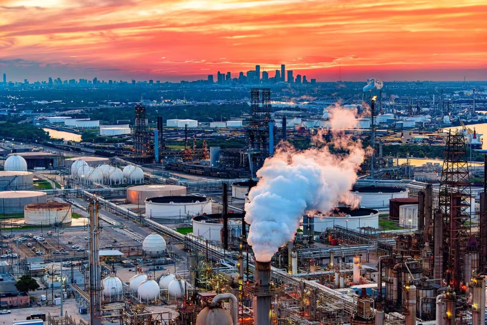

University of Texas at Dallas researchers have demonstrated a promising way to identify regional environmental health patterns using public data and artificial intelligence.
In a study of all 254 Texas counties, a team from the School of Economic, Political and Policy Sciences found geographic associations between air pollution and cancer prevalence. The researchers caution, however, that the results, published online March 5 in the journal Environmental Monitoring and Assessment, do not constitute sufficient epidemiological evidence to establish a causal relationship between air pollution exposure and cancer risk at the individual level.
Researchers used publicly accessible data collected from the Centers for Disease Control and Prevention on cancer prevalence and satellite data on air pollution to identify patterns, said geospatial information sciences doctoral student Fangchao Dong, co-corresponding author of the study.
“Something new this study contributes is an examination of the entire state of Texas,” he said. “And we applied a machine-learning method to analyze the correlations.”
Dong and other researchers analyzed data collected by a suite of remote-sensing satellites in 2022 of eight air pollutants: sulfur dioxide, nitrogen dioxide, carbon monoxide, formaldehyde, methane, particulate matter smaller than 1 micrometer, particulate matter smaller than 10 micrometers and aerosols.

Fangchao Dong
The researchers found that Texas counties with higher concentrations of pollutants also tended to have higher cancer prevalence. Sulfur dioxide was the most influential environmental predictor of cancer.
“There are three major clusters of air pollution in Texas,” Dong said. “What we found is that the east part of Texas is worse in air quality, while the west is better. The central part of Texas is somewhere in between.”
East Texas counties showed elevated concentrations of several pollutants. Counties with higher cancer prevalence tended to be near other counties with a similarly high prevalence, rather than being randomly distributed across Texas.
The study did not find a simple relationship in which every more-polluted location had higher cancer prevalence. Cancer patterns reflect multiple influences, not just pollution alone, the researchers said.
Socioeconomic and other variables were controlled for, said Dr. Muhammad Tauhidur Rahman, associate professor of geospatial information sciences and sustainability and co-corresponding author of the report.
“Socioeconomic, demographic and behavioral variables have a relationship to cancer, but this work looks at the spatial distribution of the cancer and the air pollution,” Rahman said.
In the past, spatial analyses using remote-sensing data have been limited, Dong said, because collecting pollution data from monitors on the ground is costly.
“This remote-sensing technology gives us the chance to look at air pollution across all of Texas,” Dong said.

Dr. Muhammad Tauhidur Rahman
But there are also limitations: The satellite data may not be as precise as data obtained through ground monitoring.
“There is a trade-off between them,” he said. “We need to do further research to deal with the challenges, like the cost and the data accuracy.”
By combining satellite remote sensing, geographic analysis and machine learning, the researchers developed a way to examine pollution and cancer prevalence across counties that may lack extensive ground-based monitoring.
That information can be helpful for policymakers, Rahman said.
“This allows us to not only look at past trends, but it also allows us to look at the distributions of medical centers and facilities and see what the government needs to focus on for the betterment of all Texans suffering from cancer,” he said.
Geospatial information sciences doctoral student Hao Chen also contributed to the study.
“This allows us to not only look at past trends, but it also allows us to look at the distributions of medical centers and facilities and see what the government needs to focus on for the betterment of all Texans suffering from cancer.”
Dr. Muhammad Tauhidur Rahman, associate professor of geospatial information sciences and sustainability
Source: news.utdallas.edu